In the spotlight
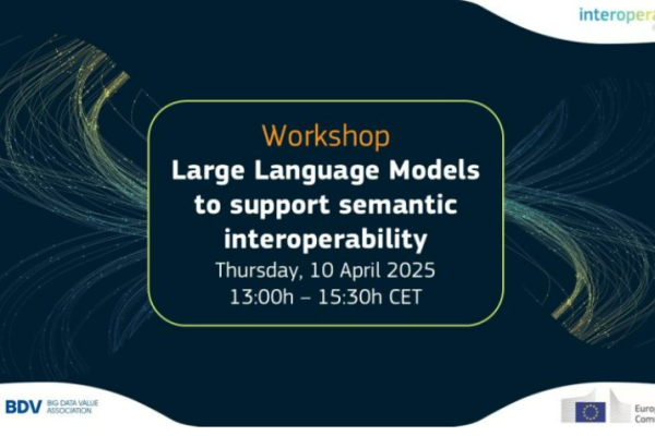
Get ready to unlock the true potential of Large Language Models! On 10/04, the SEMIC team and the Big Data Value Association (BDVA) organise a workshop on the transformative power of LLMs in enhancing semantic interoperability.

The European Commission has launched a public consultation as part of the GreenData4All initiative, inviting everyone to share their thoughts on how to improve access to environmental data.
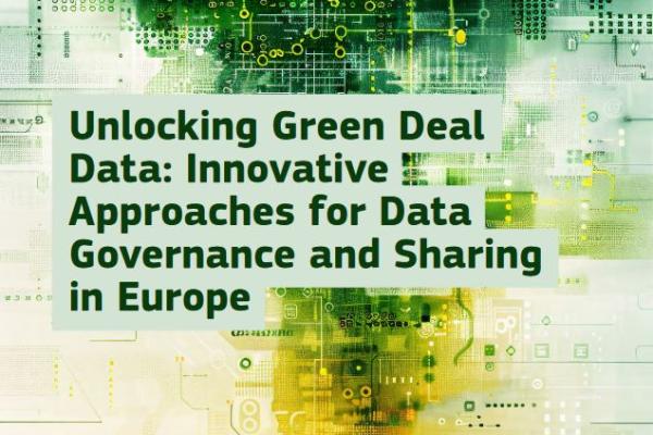
The report “Unlocking Green Deal Data: Innovative Approaches for Data Governance and Sharing in Europe” explores innovative approaches for unlocking relevant data to achieve the objectives of the European Green Deal.

Get an overview of the INSPIRE Directive, its founding principles and the maintenance and implementation framework. Find guidance on how to implement and how to benefit from its reuse in different contexts.

Learn about the European strategy for data, the link of INSPIRE to the common European data spaces, the Open Data Directive and high-value datasets, the GreenData4All initiative, and the Digital Europe Programme.
Get details on the legal framework defined by Directive 2007/2/EC, its policy background, and the Implementing Rules.
Get an overview of how the INSPIRE framework is evolving to better support data-driven decision making and innovation while opening up to a wider range of users.